Monday, May 31, 2010

Roads and Trails to Tunitas Rd Bike Hut


This ride was a test of several things: to see what happens if you climb hard, full out, as suggested by my friend John; to see if I could find enough water sources along this remote 65mi ride; to see if I could climb some of the steep trails on my 29er with the lowest gear of 22/27; and finally to test my new Ergon GR2 Leichtbau grips.
Here are the results:
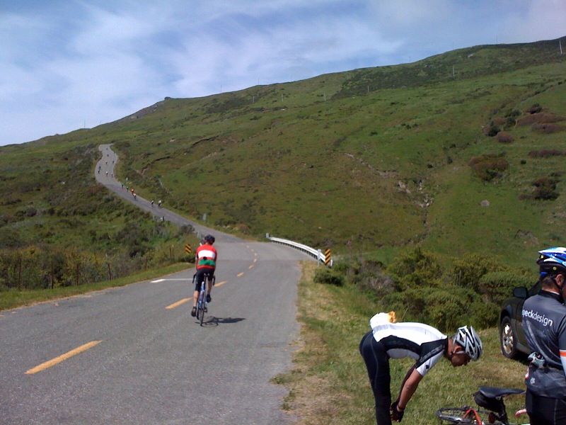
1. Climbing hard early in the ride means you pay for it later. I knew this, but perhaps it is a way to get faster.
2. I found a new building with water faucet outside and had to make a nice ~ 6mi detour to the Tunitas Rd. bike hut to refill my one bottle, so it worked.
3. The tall gearing of my 29er was not low enough to make the steep pitches at the top of the Whittmore Gulch trail. Otherwise, the noticeably better rollability of the big wheels make climbing over steep obstacles better than one would think.
4. The grips are great for hand comfort on roads and jeep trails, the bar ends are excellent for climbing, but the palm rests get in a way of proper braking on steep technical downhills, to the point of being quite scary. The grips also weigh about five times more than the Bontrager foam grips they replaced, so I am not yet 100% convinced. I am glad I did not buy the $100 carbon version.


Sunday, May 23, 2010

Joseph D. Grant Ranch MTB Ride

No GPS track this time. Sort of a photo essay, I wish I had my camera with me instead of just iPhone. About 17mi in 3 hrs with some very steep climbs.
Here is the map of the figure eight loop:


Monday, May 10, 2010

Tour of the Uknown Coast Century

Tour of the Uknown Coast Century at Garmin Connect - Details

Above is a link to the Garmin website for ride details. Here is a recap: The ride started in Ferndale, CA and after a few miles of riding through farmlands and a section on Highway 101 with barely any car traffic, we entered the redwoods at the Humboldt Redwoods State Park. The section through the Avenue of the Giants was really nice, although chilly and dark. The 25mi rest stop was at the Immortal Tree:


The next 15 miles were through more redwoods and some nice rolling terrain, untill a rest stop just before the Panther Gap climb:


From here, we climbed to about 2800 ft for about 7 miles. It was nice to get out of the woods and have some sun to warm up. It was only on the descent where I realized how bad the road surface really was. I was wishing for my full-suspension mountain bike and had to stop to get blood flowing in my hands. So the lunch stop at mile 60 came at about the right time:


There were few climbs and short descents between miles 60 and 73, with beautiful views back into the valley with deep forests and glacial water rivers.
We then descended to the coast and rode north along the beach. The yellow flowers along the sand dunes were beautiful, but there was a strong head wind, making this section a painful one. At the end of the beach, we arrived at the Sea House, which stood at the foot of "The Wall", a one mile climb of 18-20%. This picture taken from the Sea House does not really capture how scary steep this hill looked:


But it turned out this climb was not all that bad. The one which came at mile 83, the "Endless Hill", was a tough one, since it did not seem to have an end. But it did, with about 6 miles to go. It turned out these were some of the toughest miles of the whole ride for me, since it was all steep winding downhill with more potholes and gravel. Luckily, there were no cars untill Ferndale.
When I sprinted through the finish line at the fairgrounds, I was quite happy this ride was over but sad at the same time that the fun ended. If the Humboldt County ever decides to repave their roads, I may be back for another ride through this beautiful part of California.