Sunday, November 24, 2013

Island Hopping: Anacortes and Orcas

A high pressure area has been affecting our weather for the last week or so: sunny but cold. Cold enough to reach sub-freezing temperatures in Seattle (!) and twenties on the "east side". When several ride invites for trails east of the city landed in my in-box, I considered it but then remembered what one veteran mountain biker said on one of early spring rides: as the snow melts, we move to the alpine terrain, when the rains and cold come in the fall, we descend to the shore and the islands. Makes sense, the body of water maintains a temperate climate year around. I have been planning on riding couple of areas in the San Juans and this weekend happened to be free of office work so I traveled.
The town of Anacortes is on Fidalgo Island, but you can drive there. The ever useful evergreen Wiki site gives all details about the Anacortes Community Forest Lands (ACFL), including detailed trail map links. There are three general areas that can be connected into one epic ride. I asked about the trails in a local bike shop and was told "some are somewhat technical." I started at Cranberry Lake and no kidding, the first trail I hit was indeed technical. Lots of transverse roots and rocks, including large granite slabs and rocky step ups and drop offs. These trails were much more Campbell River than Issaquah.

I rode in a clover leaf pattern around the lake, either climbing with my chest on the handlebars or descending with my ass hanging over the rear tire. After getting a blister on my palm, I headed south and connected with the Heart Lake area.

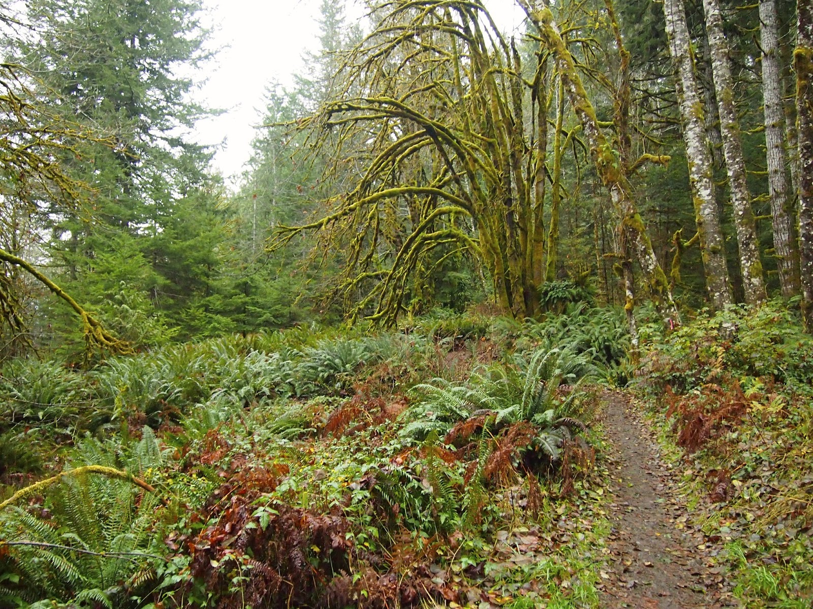
I followed increasingly technical and steep single track along Heart Lake Road, until my legs just gave out. This happen to be on a moss covered rocky outcropping, a great place for lunch.

I did not even attempt to continue further towards Whistle Lake, just look at the trail map, it is dizzying. On the way back, I tried to take other trails for variety and stumbled upon trails 109 and 129. These trails were real gems. Back at the lake,  my Garmin showed measly 13.5 miles and 2:05 hrs. Now, I know I rode for about 4 hours and with the exception for perhaps 20 minute lunch break, I rode non-stop. My legs felt like after 20 miles. I have a suspicion that after the latest firmware update, my little GPS is cheating on me!

Bigfoot's mushroom garden
I decided to stay in town and found a decent place to stay, right off the main street. Since the temperature was around 40F the whole day, it took me about 30 minutes in hot shower to gain enough energy to venture out and find a place to eat. At the Rock Fish brewery, they not only have good beer (for USA) but their 3-piece fish and chips is like three whole fish! Two beers and those three fish and I barely made it back to the hotel.

Next morning, I was the first car in a ferry line to Orcas, just before sunrise. From the Orcas Island ferry terminal, it took just 25 minutes to reach Moran State park. My plan was to follow this description of a ride to the summit of Mt. Constitution, the highest point of San Juan islands. The ride starts with a brutal climb. No warm-up. The first switchback threw me off bike. Then I climbed some more, then I hiked 50 meters and rode 50 meters. Then hiked some more.

At some altitude, I have crossed the zero isotherm and trail surface became frozen, with ice slabs filling spaces between rocks and frozen mud mixed with large ice crystals. The upper part of the climb was less steep and I was also out of the deep woods, riding in a pine forest with bald, rocky and sunny spots.  As I finally reached the view tower, after about 2 hours of climbing, my GPS read 33 minutes!


Damned be the technology, the view was worth it! I bathed in the morning sun and enjoyed the far far views - Canadian Rockies, Mt. Baker, the whole archipelago, Olympic range, even the tip of Mt. Rainier above the horizon.

Descending back to the saddle on the icy trail was more enjoyable than climbing it, but then, after Cold Springs, a real treat of the day awaited. Flowy, soft ribbon of single track, just steep down to make it interesting and not overheating the brakes, with occasional short climbs.

Who's got better late November singletrack? CT, CA? Revelstoke, BC?
I swung by twin lakes (almost identical twins) and continued along Mountain Lake towards Cascade Falls. A short hike to the waterfalls for an obligatory picture:

The overall downhill part of the ride was peppered with short, punchy climbs, where lofting the front wheel over thick roots and rocks was becoming progressively more tiresome. The final stretch of trail along the Cascade Lake was the last drop, but I drank it all.

A late afternoon ferry ride back to mainland, after drinking lots of coffee and eating one of each of the pastries on display at the ferry village.

Those truncated GPS tracks are here and here, more pictures here.

Saturday, November 16, 2013

Sol Duc Fat Ride

In this post, I am catching up on the last weekend's ride at the Olympics. After testing my new fat bike on 15 miles of beach and spending a nice evening with my Czech friends at the Kalaloch Lodge cabins, I planned a ride around Lake Crescent and up along the Sol Duc river.
This summer, we spent a weekend on the Olympic Peninsula and I managed a ride on the Olympic Discovery trail, mentioned in this blog post. The ODT continues along the shores of Lake Crescent as the Spruce Railroad trail. We ventured on this trail during our summer trip, thinking it was a rail trail that Marketa would enjoy riding, but found the trail to be a rooty singletrack. So that's where I started last Sunday.

The singletrack dropped steeply to the lake level on the first half mile and continued over rocky outcroppings along the water.
Is this where the railroad tracks used to go?

And they call this a "rail trail" in WA!
The bike rode the terrain well, I pumped the tires up to a ridiculous pressure of 15 psi since I knew most of the ride would be on pavement, but the fat wheels rolled over smaller obstacles like a 29er (which the wheel circumference is close to) and bounced a bit off bigger rocks. Landing the rigid fork on some step downs left my wrists wishing for more cushy handlebar grips (which I got by now, red ESI silicone chunky grips). But soon I was on a straight, flat rail cycle-strada, pushing the big bike through a layer of colored leaves, surrounded by cedars and the rain forest.

After about five miles or so the rail trail ended at highway 101. I crossed the highway and continued up on Sol Duc road, alongside a river of the same name. Or perhaps it was called Soleduck river, as the welcome sign said? The road climbed towards the hot springs resort (closed) for 10 miles and then two additional miles got me to the trail head at the end of pavement. I arrived there quite wet, since I dressed for wet weather in layers of various water-proof membranes. It did not rain, but the air was saturated and it was damp 45F. I left Pepper locked up at the trail head kiosk and hiked at a fast pace to the waterfalls.


The falls did not disappoint, the river was flowing despite unusually dry fall we have been having here. I hoped to see some Coho salmon, which is supposed to go upriver during late October and early November, but I guess salmon were on a different schedule. Back at my bike, I zipped up all jacket vents, pulled the hood over my helmet, cinched all cords and tightened all velcros, for the 12 mile descent.

The rainforest will never ever fail to amaze me.
The way back was uneventful, I let lots of air out of the tires for the last section of the trail, which made for nicely soft ride. Back at the car, I looked at my watch and realized I was out there for about six hours. I did not stop much and thanks to the stability of the fat bike, could eat my bars while riding. My GPS was dead, since I forgot to turn it off the day before after having so much fun on sand and logs. At home, I let Google maps to show me the route, turns out it was about 46 mile bike ride and couple of miles of hiking.

Google cycling map would not let me draw the route on a rail trail (green trail in the middle)
I was tired at the end of the day and had a long trip home, but I don't think I was more tired than I would have been riding my 29er hardtail. The fat wheels roll very nicely once up at speed and the rigid frame is efficient. What the bike is not good at is abrupt changes in momentum over steep ups and downs, but these bikes were not intended to substitute full suspension mountain bikes, of course. I look forward to bring Pepper to packed snow trails this winter. It will be a perfect plan B for non-powder days!


Thursday, November 14, 2013

Introducing Pepper

Let me introduce my new friend: her name is Pepper, she is very young (being a 2014 model), red, hot, and seriously...fat.


I picked her up last Friday and we spent a fantastic weekend together at the Olympic Peninsula. We have known each other only for a week now, but I am sure we will get together really well, since she has an adventurous spirit but she is mild-mannered, stable and friendly.


There is one problem, though: my wife has not met Pepper yet. In fact, she does not even know that we are together. For a week now, I have been scheming various excuses, none will work. I have to man up and tell Marketa that I needed a friend. And that does not change anything between my wife and me. She will understand. I hope I can tell her before she reads this blog, which she does not do too often.


In the best American tradition, Pepper is of a mixed ethnicity: Salsa is Afro-Cuban, Mukluk is Inuit and she was born in Taiwan.

At "speed"


I am sure Pepper will feel right at home here in Seattle. We have miles and miles of fine sand and pebble beaches, hundreds of miles of groomed XC ski trails and snowmobile trails, as well as rail trails and forest roads within 100 miles outside of Seattle, and the largest XC trail system in North America in the Methow Valley, where they officially allow fatties like her to roam freely. This is a beginning of a beautiful friendship, as Grga Pitic would say.


Sunday, November 3, 2013

Rattlesnake Ridge

A two day storm has dumped about two feet of snow at Steven's Pass. Sunday was supposed to be nice and I could have taken the Mojo out on some new trails, but for some reason I wanted to go trail running. My mind was set on a ridge south of I-90 which I saw when riding the Iron Horse rail trail in August.
I looked at the trail map and saw it was a linear trail with two trailheads: one at the Rattlesnake Lake and a western one at Snoqualmie Point Park. I picked the western trailhead for two reasons: less driving and the fact that from the lake, the trail climbs the rocky wall and gains 1000 vertical feet in 2 miles.
The total trail length was listed as 10.5 miles. I thought that perhaps, if I felt good, I could run about 8 miles to the ledge above the Rattlesnake lake. I remember running 8 miles quite recently, actually about 9 around Magnolia and that left me pretty sore. Now some inner voice was telling me that I would have to get back somehow to my car, which could possibly add up to 16 miles, but I tried not to listen to it.


The trail started with a long climb, as expected. I like climbing, both on bike and on foot. Views of the valley below opened up at few spots, but there were lots of clouds above and the weather was quite unsettled.

The best part was of course the trail itself. If I was to list 10 best things about Washington, trails would take 1-9 (beer would be number 10).

As I approached the East Peak (East Summit?), I crossed the snow level at perhaps 3000 ft. Not only there was a bit of fresh snow on the ground, it also snowed quite heavily just as I came to an intersection under the tower. At this point, I had ran 5.9 miles and expected to have about 2.5-3 miles more to the ledge, which should be about 1.5 miles from the lake.

The descent from here was a welcome change and I was almost surprised to reach the ledge sooner than I expected. Just as I carefully stepped on a rock shelf above 1000 ft abyss, I got a last glimpse of the lake and cars parked at the lake. A shroud of vapor filled the valley quickly and despite me waiting patiently and getting cold, the view did not open again.

Oh well, it was time to turn around and slog up those 2 miles back to the summit. The camera went into the Camelbak and out came bars and gels. I was able to run most of the uphill, although very slowly. Back at the high point, I put on gloves and an extra woolen head band, expecting to lose body heat on the way down.

It was not all downhill from here, there were a few leveled and even uphill sections and I was enjoying myself on the trail. I got a bad cramp with about 2.5 miles to go, I guess I was so deeply immersed in absorbing the surrounding natural beauty and thinking about many things at the same time that I forgot to drink. The final part was very steep down, I recalled sweating on the way up but at this point, my legs were hurting a lot trying to step carefully and use the brakes. Back at the car, my watch showed 4:29 time, but the GPS insisted I ran only 7.83 miles. Frankly, I can't care less. I stopped measuring distances when I moved to Seattle. A beauty of the environment and good feeling workout are the metrics I use both for mountain biking and running. For me, this works so much better than PRs and Strava.


Tuesday, October 29, 2013

Introduction to fatbiking

On my recent four day long "work weekend" in the Bay Area, I had a unique biking experience. My friends Jill and Beat not only agreed to go for a half day bike ride, but they also set me up with a loaner bike. Not just some bike, a Fatbike Fatback fat bike! Without really thinking about the best terrain for this type of bike, I suggested Wilder Ranch trails. I rode there several times and even blogged about it a few times here and here. Jill has already covered the ride in her blog including her stunning photos, so I won't repeat the ride description here. Needless to say, just after a year and half, I got pretty confused by the trails. Usually, I get anxious when I lose orientation in a known terrain, this time I did not mind, I would just happily ride the fat tire monster bike (surprisingly not of heavy and very agile bicycle) around for hours. The bike performed very well on somewhat technical rooty single track Enchanted Loop downhill and at the end of the ride, we even rode it on a surface it was intended for: on a sandy beach. I have not had this much fun on a bike in a long time!


Sunday, October 20, 2013

Dry Side


For about the second week in a row, if you looked at Seattle's weather forecast on your phone, you would see a column of seven suns. Sunny, sunny, sunny... well, not quite. We do have an unusual stretch of dry weather here, but the high pressure causes inversion and low clouds and fog shroud the city and low elevation areas until around 2PM when there may be a short sun break, then the fog rolls in again by 7PM. I guess that's how they create the Seattle weather statistics - don't believe any of it, weather in this town really, really sucks nine months of a year.
A Meetup call came late Friday night to ride trails on ridges around Lake Wenatchee and I happily set my alarm clock for 6AM and drove 2.5 hours to those trails, I liked them very much back in July. It became sunny just east of Skykomish, as soon as the road started to climb towards Steven's Pass. The fall colors were unbelievable all around, especially on the eastern slopes of the hills. As I drove downhill, the temperature dropped as well and stabilized at cool 34F at the meeting point at Midway Village. Shortly afterwards, the ride organizer as well as two more couples showed up for a crowd of six. From this outpost of civilization (in the winter they primarily serve as a fuel and food station for snowmobilers, apparently there are about 200 miles of snow mobile trails in the vicinity), we drove some more on zero traffic paved road, then a mile on a dirt road to the trailhead. Here, we loaded six bikes and six people in the smallest of the vehicles - a pickup truck- and shuttled 7 miles up a fire road for a singletrack descent. I was a bit bummed first since I like to climb, and sitting in a truck bed for 20 minutes was not the best warm up for the ride, but we had ambitious plans for the day. We did climb the upper part of the fire road, met three horse riders and hunters carrying rifles, and stopped for a friendly chat with each group. I guess that's what friendly trail sharing means, at least here in WA.


The singletrack was frozen solid and covered by multiple patches of snow and ice, which made the first part of the downhill interesting, since the trail here is steep, narrow and cut into a steep hillside. At each of the switchbacks, it feels like you could skip a few taking the straight line down. The Chikamin Creek trail soon entered the forest where tree roots crossed the trail every 10-20 meters making a series of 1 foot drops that were fun to launch off. This trail was not all downhill, there are numerous short punchy uphills as well as a good length of sustained granny gear climbing from the creek. The last section, which was so dusty in the summer (pumice) was absolutely great - no brake berms, sticky sandy soil and enough rocks and roots to keep it exciting.
Back at the cars, it took all of us just about an hour to solve the next logistic riddle: how to get those who wanted to ride Minnow trail to the top, how not to accumulate more cars on top of the hill than drivers who could drive them down and how to make sure all car keys were at identifiable locations once everybody descended the hill the second time. Isn't there an app for this? The second lap was just us boys and I had to push myself pretty hard to keep the other three riders in sight. Minnow ridge trail was even more roller-coaster-y than Chikamin, requiring quick changes in riding style - pump the moto dips on level sections, pedal hard downhill to get enough momentum, then shift all the way down for either granny gear suffering next 50 meters, or standing up mashing the big ring, if you had anything left in your legs. This trail was also a lot drier and smoother, testing our courage to lean the bikes into the turns until the tires started to break loose. Here is the track, including the second car shuttle up:


A long day out there would have ended very successfully at a local pizza and beer joint, if it wasn't for a wreck that closed Highway 2 between Steven's and Index, forcing me to take a long detour on the only other road across the mountains to I-90. About six hours out in the woods, two and half hours of intense riding and a total of 5.5 hrs behind a wheel. A real "endurance" day for me, but the bright yellow fall colors, misty mountains on the horizon and the sound of tires and suspension thumping down the trail keep coming back in my mind a day later.